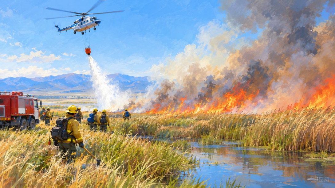
The Ministry for Emergency Situations (MES) reported the containment of a fire in the Alakol district of the Zhetisu region on 27 September. The blaze broke out in a swampy area approximately 35 km from the village of Besagash. The FBK editorial team cross-checked the MES report against NASA FIRMS satellite data and established that fires in the area had been recorded for three days in a row. On 25 and 26 September the fire covered around 370.56 ha, and on 27 September a separate hotspot with an area of 192.62 ha was recorded, located to the south-west.
WHAT THE MES REPORTED
Reed caught fire in the Alakol district of the Zhetisu region. According to the MES, the blaze broke out approximately 35 km from the village of Besagash, in a swampy and hard-to-reach area. Dense reed beds and difficult terrain significantly hamper the work of ground crews.
The MES does not specify exactly when the fire started. As of 27 September the fire had been contained. There is no threat to settlements, and the situation is under control.
WHO FOUGHT THE FIRE AND WITH WHAT
Around 40 people and 12 units of equipment from the MES, the Alakol State Nature Reserve and the forestry service were involved in extinguishing the fire.
Since reaching the hotspots on the ground is difficult, a helicopter from Kazaviaspas JSC of the MES was brought in to help. Nine water drops were made from the air onto the hotspots, with a total volume of 27 tonnes.
WHAT THE SATELLITE DATA SHOWED
To assess the scale of what was happening, the FBK editorial team turned to NASA FIRMS data (NASA Fire Information for Resource Management System) - a system that tracks thermal anomalies using satellite imagery. It recorded a fire in this area not only on 27 September, but also on 25 and 26 September.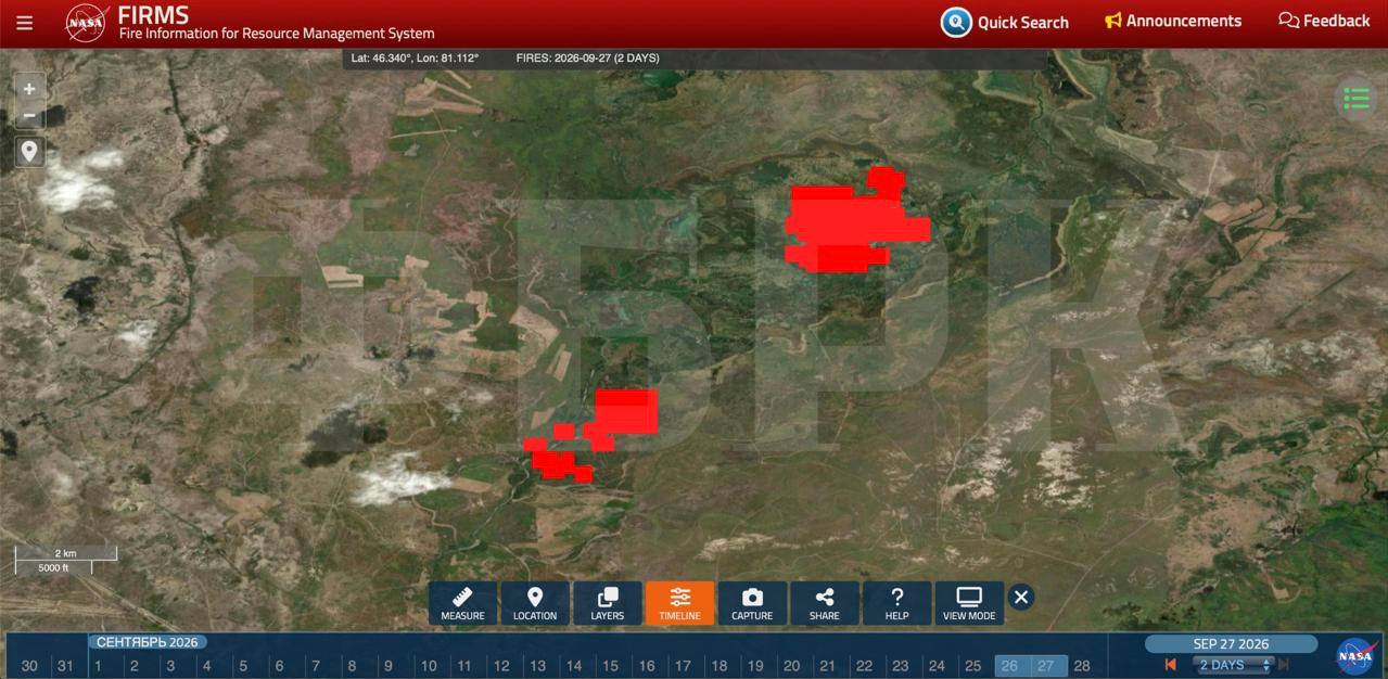
The fire on 25 September covered 247.72 ha (2.48 sq km). The following day, 26 September, the fire expanded to 370.56 ha (3.71 sq km). So in a single day the area grew by approximately one and a half times.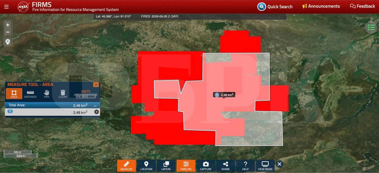
On 27 September the satellite recorded a different fire. It is located approximately 5–6 km south-west of the hotspot that burned on the previous days, and covered 192.62 ha (1.93 sq km). Apparently, this is the one referred to in the MES report.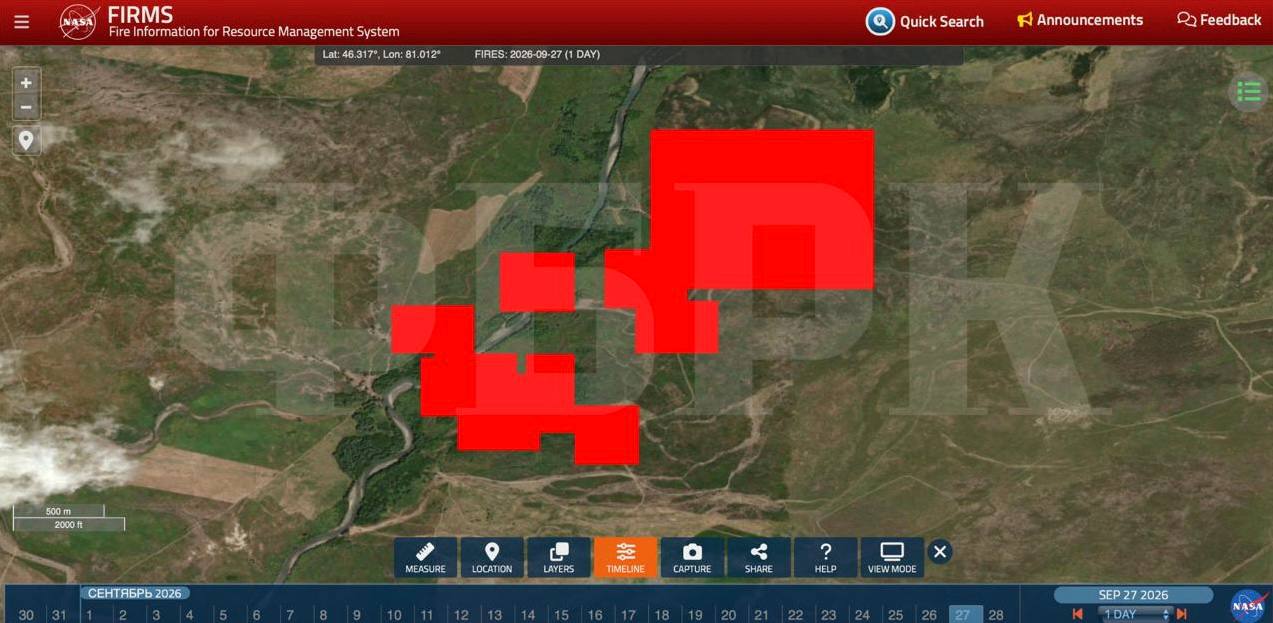
If you add together the maximum area of the first hotspot (370.56 ha) and the area of the second (192.62 ha), you get more than 563 ha.
Recall that on 13 September 2026, five forest fires were registered on the territory of Kazakhstan's state forest fund.
The FBK editorial team checked NASA FIRMS satellite monitoring data and counted at least 13 large fire hotspots on the same day - predominantly steppe fires, with a total area of approximately 2870 ha.
On 16 September, a wildfire was contained in the East Kazakhstan region (EKR) on the territory of the Markakol forestry service. Ground forces and aviation were brought in to extinguish it.
On 22 September in the Abai region, the spread of a wildfire that had been fought since 20 September in hard-to-reach mountainous terrain was stopped. The fire had spread onto the territory of the Tarbagatai State National Nature Park.